World Map Coloring Pages
A world map coloring page is where geography starts: seven continents, five oceans and a lot of blue. This set includes a blank outline of the world, a labeled version, a page for each continent and a few picture maps with animals and landmarks. The maps show continents and oceans only, which keeps them clear enough for first graders and still useful for older students.
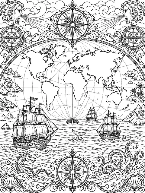 Antique-style world map with shipsDetailed
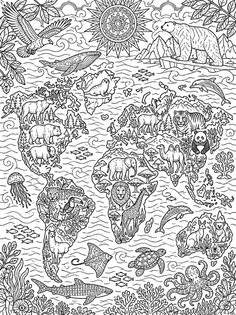 World map with animalsDetailed
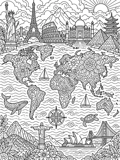 World map with landmarksDetailed
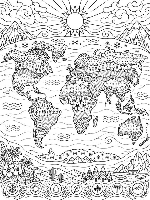 World map of climate zonesDetailed
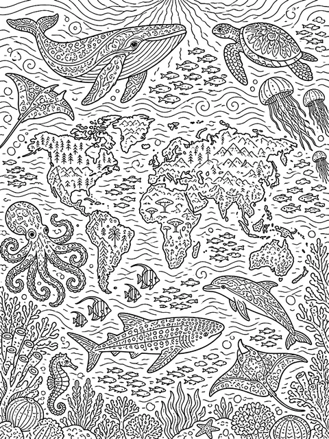 World map with ocean animalsDetailed
 Children holding hands around a globeMedium
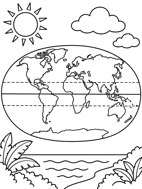 World map with the equator and tropicsMedium
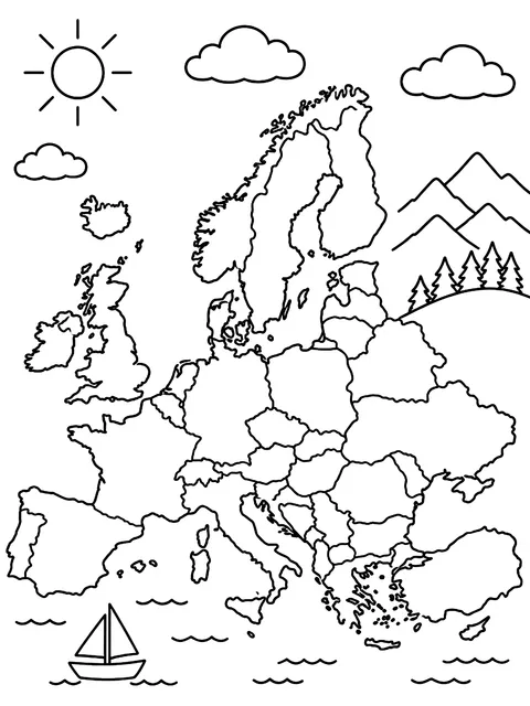 Europe continent mapMedium
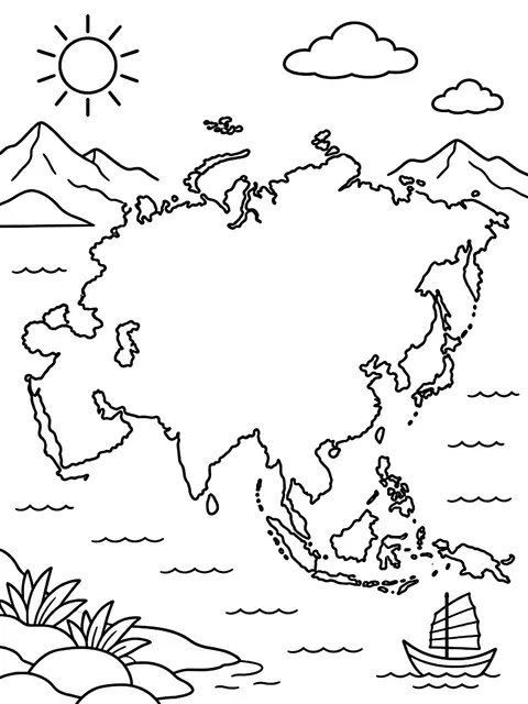 Asia continent mapMedium
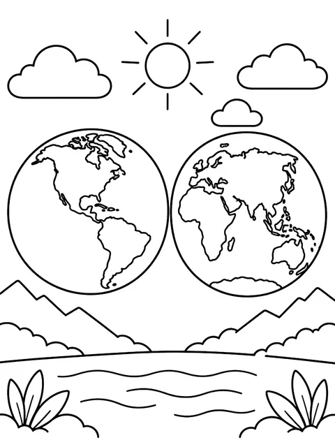 Two hemispheres side by sideMedium
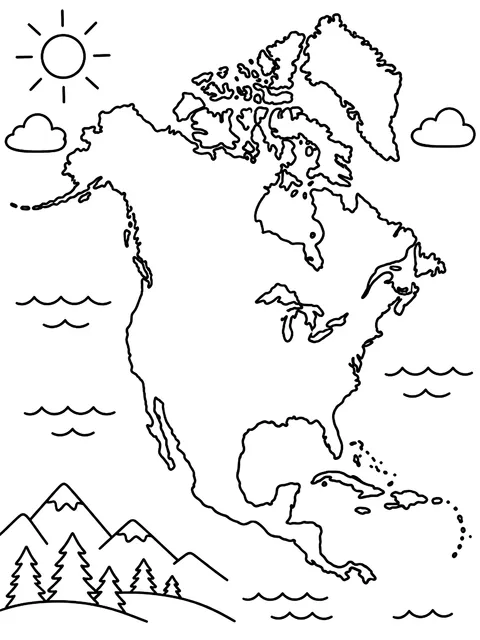 North America continent mapMedium
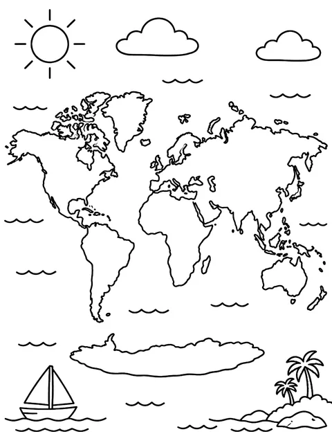 World map with oceans labeledMedium
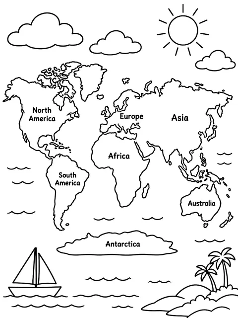 World map with continents labeledMedium
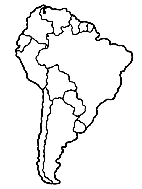 South America continent mapEasy
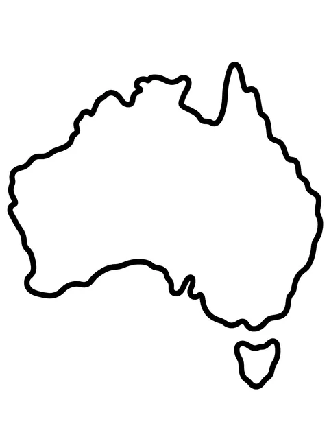 Australia continent mapEasy
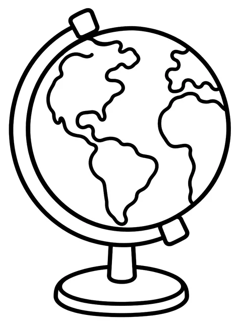 Globe on a standEasy
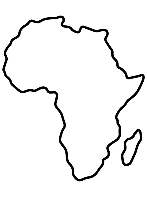 Africa continent mapEasy
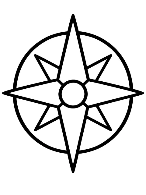 Compass roseEasy
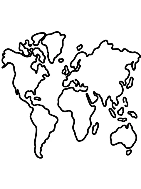 Blank world mapEasy
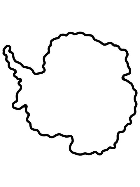 Antarctica continent mapEasy
World map coloring sheets on this page
- Blank world map: continent outlines with no labels, for quizzes
- Labeled world maps: one with the seven continents named and one with the five oceans
- Single-continent pages: Africa, Antarctica, Asia, Australia, Europe, North America and South America, one per sheet
- Lines on the map: the equator and the tropics
- Animal maps: land animals placed on their home continents and sea animals in their oceans
- Landmark map: pyramids, towers, temples and bridges placed where they stand
- Compass rose: north, south, east and west, plus the four points in between
- Globe views: a globe on a stand and two hemispheres side by side
Teaching with a world map coloring page
The seven continents. From largest to smallest by area: Asia, Africa, North America, South America, Antarctica, Europe and Australia. Give each a color and use the same colors all year, on every map in the room.
The five oceans. Pacific, Atlantic, Indian, Southern and Arctic. The Pacific is the largest and covers about a third of the Earth's surface. All five connect, so you can color them one shade of blue or give each its own.
Land and water. Oceans cover roughly 71 percent of the planet. Ask students to guess before they color, then compare how much blue crayon and how much green they used.
Where do we live? Have each child put a star on their home continent, then on places where relatives live or where a favorite animal comes from.
The equator. This imaginary line circles the middle of the Earth and divides it into the Northern and Southern Hemispheres. Places near it are warm all year. Trace it in red.
Why Greenland looks so big. A flat map can't show a round planet without stretching something. On many classroom maps, land near the poles is stretched, so Greenland looks about as large as Africa. In reality, Africa is about 14 times bigger. Put a globe next to the colored map and let students spot the difference.
Most US schools introduce continents and oceans between kindergarten and second grade. For one country in more detail, see our USA map coloring pages and Mexico coloring pages.
Frequently asked questions
Is the world map coloring page free?
Yes. All world map coloring pages are free to download and print for personal and classroom use.
Does the world map coloring sheet show countries?
No. These maps show continents and oceans, which is what early geography lessons need. It also keeps the outlines large enough to color.
How many continents and oceans should students label?
Seven continents and five oceans. Some older books list four oceans, because the Southern Ocean around Antarctica was added to many maps more recently.
What colors should I use on a world map?
Blue for water is standard. For land, pick a different color for each continent so they're easy to tell apart. Antarctica is often left white.