USA Map Coloring Pages
A United States coloring map is one of the most-used printables in elementary geography. This page has the whole country as a blank outline, a labeled version with state names, maps split into regions, a capitals map and large single-state outlines. Every national map shows all 50 states, with Alaska and Hawaii in inset boxes.
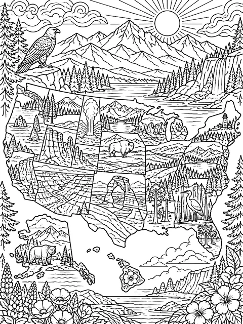 Map of well-known national parksDetailed
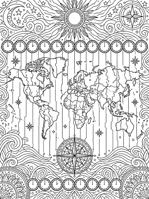 Map of time zonesDetailed
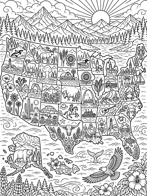 Map with a picture in every stateDetailed
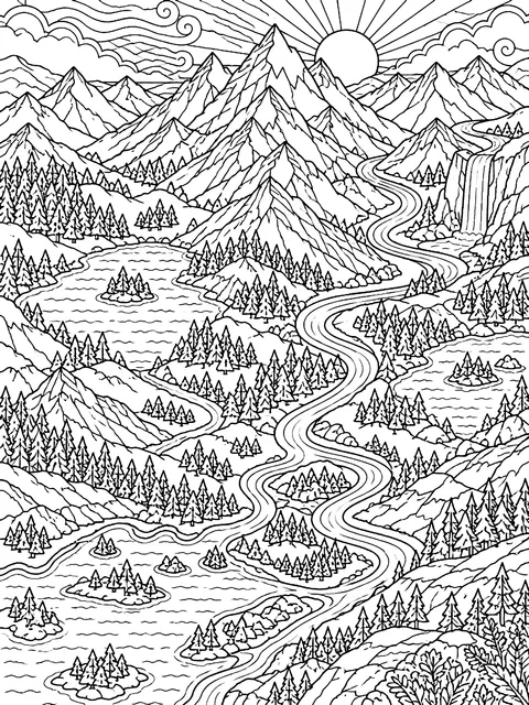 Map of mountains and riversDetailed
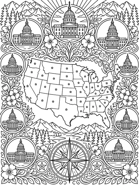 Map of state capitalsDetailed
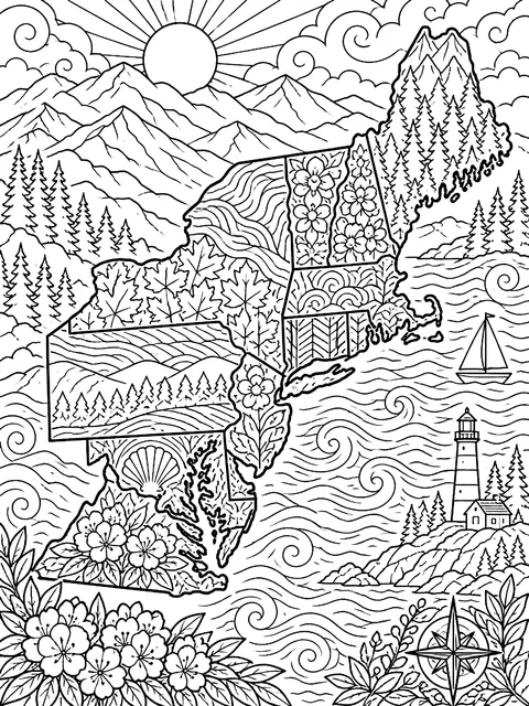 Northeast region mapDetailed
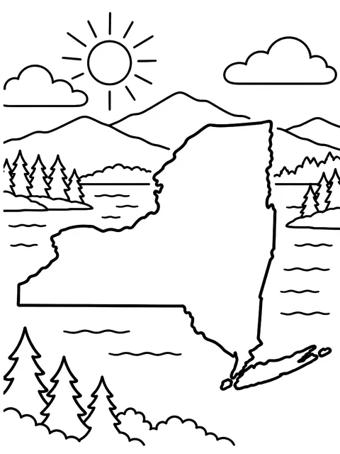 New York state outlineMedium
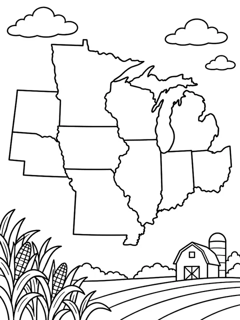 Midwest region mapMedium
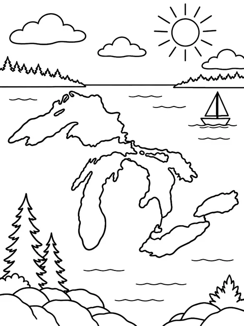 Great Lakes mapMedium
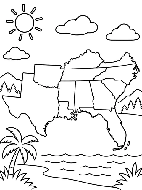 South region mapMedium
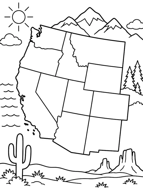 West region mapMedium
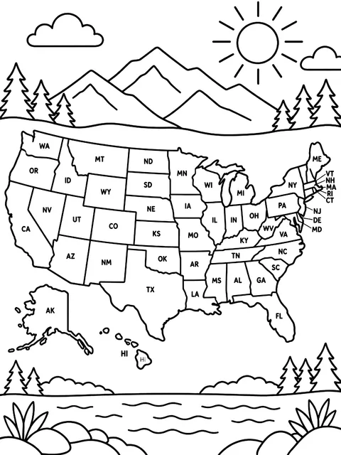 Map with state abbreviationsMedium
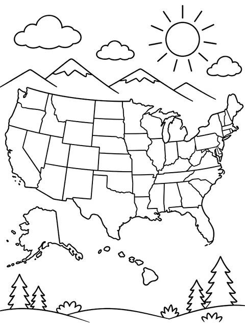 Labeled map of the 50 statesMedium
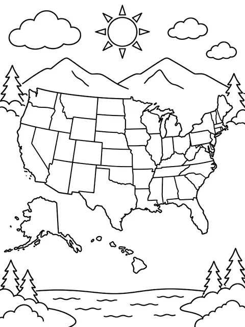 Blank map of the 50 statesMedium
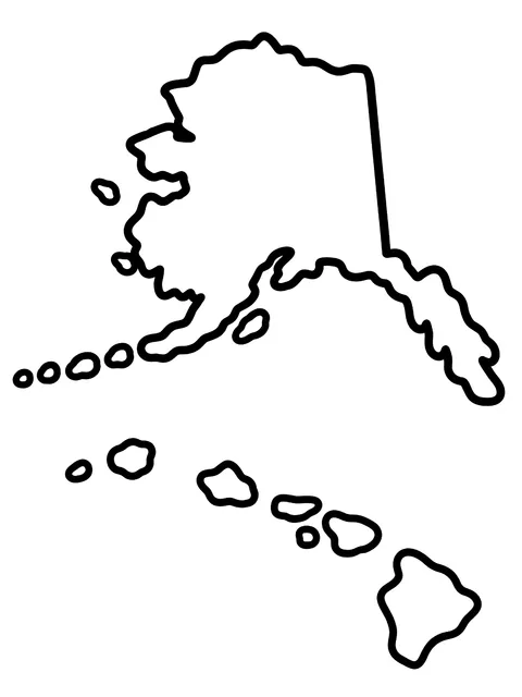 Alaska and Hawaii outlinesEasy
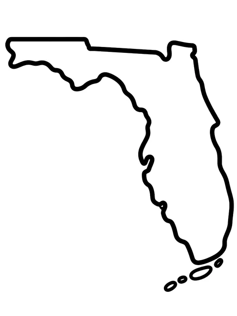 Florida state outlineEasy
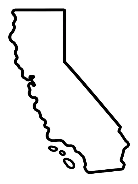 California state outlineEasy
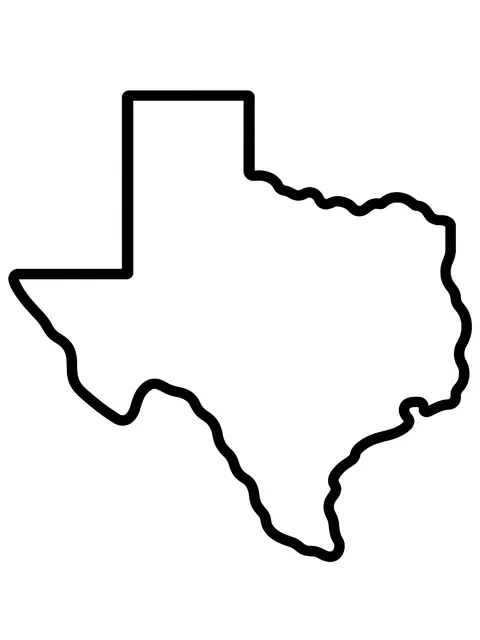 Texas state outlineEasy
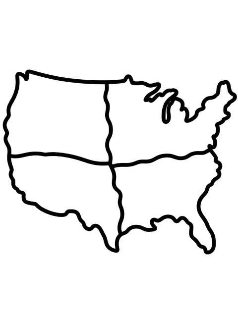 USA map in four regionsEasy
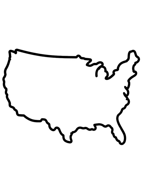 USA outline with no state linesEasy
USA map coloring pages on this page
- Blank 50-state map: state borders only, for quizzes and color-by-instruction activities
- Labeled map: every state name printed inside or beside its outline
- Abbreviation map: two-letter postal codes such as TX, OH and CA
- Regions maps: the Northeast, Midwest, South and West, each on its own sheet so small states are easier to color
- Capitals map: a star on each state capital to label or match
- Landform map: the Rocky and Appalachian mountain ranges, the Mississippi River and the five Great Lakes
- Single-state outlines: large shapes of individual states with room to draw the flag, bird or cities inside
- Outline only: the national border with no state lines, for drawing states from memory
Geography lessons with a United States coloring map
Color by region. The Census Bureau groups the states into four regions: Northeast, Midwest, South and West. Give each a color and students see the pattern at a glance.
One state at a time. Color a state when you study it, when a classmate has visited it or when it comes up in the news. After a year the map is full.
The four-color challenge. Ask students to color the map so that no two states sharing a border have the same color. Mathematicians proved in 1976 that four colors are always enough for any flat map. It's harder than it sounds and makes a good puzzle for grades 4 and up.
Label from memory. Start with the labeled map. Move to the abbreviation map, then the blank one.
Facts to point out as you go
- There are 50 states. Forty-eight are contiguous, and Alaska and Hawaii are separate.
- Alaska is the largest state and Rhode Island is the smallest.
- Four states meet at a single point called Four Corners: Utah, Colorado, Arizona and New Mexico.
- Tennessee and Missouri each touch eight other states. Maine touches only one, New Hampshire.
- The five Great Lakes are Huron, Ontario, Michigan, Erie and Superior. The first letters spell HOMES.
- The Mississippi River starts in Minnesota and reaches the sea in Louisiana.
Most US students learn the states and capitals in fourth or fifth grade. Colored pencils work better than markers on maps, because small states like Delaware and Connecticut need a fine point.
Frequently asked questions
Are these USA map coloring pages free?
Yes. All USA map coloring pages are free to download and print for personal and classroom use.
Is there a blank US map coloring page with no labels?
Yes. The blank 50-state map has borders only. There's also an outline with no state lines at all, for students who are ready to draw the states themselves.
Does the map of USA coloring page include Alaska and Hawaii?
Yes. Both appear in inset boxes at the lower left, as on most classroom maps. They aren't drawn to the same scale as the other 48 states.
Can I get a colorable US map of a single state?
Yes. The single-state outlines print one state per page at a large size. They're handy for state reports, where students add the capital, major cities, rivers and symbols.